Ivory Coast: CNTIG presents digitized and geolocated data of Attecoube municipality
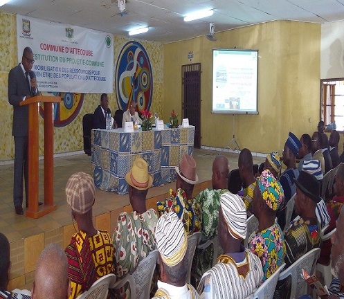 During a ceremoney held on January 6, 2016, the National Committee for Remote Sensing and Geographic Information (CNTIG) officially presented the findings of the e-municipality project for the municipality of Attécoubé. Many community leaders came for the occasion
Essentially involving the geolocation and digitization of data, the e-municipality project aims to be the precursor to a new dawn in the fluidity of the management of municipal resources.
![]() The CNTIG is a key pool of expertise in the Ivory Coast in geographic information systems, remote sensing and mapping applications coupled with new information technologies. It supports and strategically advises state structures and their various branches in the implementation of their development projects and modernization.
The CNTIG is a key pool of expertise in the Ivory Coast in geographic information systems, remote sensing and mapping applications coupled with new information technologies. It supports and strategically advises state structures and their various branches in the implementation of their development projects and modernization.
Source: http://www.cntigci.net/actualite/article/338-resti-ecommune-attec; http://mairieattecoube.ci/index.php?site=afc&ida=215-ceremonie-de-restitution-des-travaux-du-cntig